Several years ago, right after we had our first child, we were treated with an afternoon off from our little guy and ventured out into the vast woods of Land Between The Lakes.
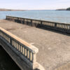
The destination was Pryor Creek, just south of the KY/TN border near Lake Barkley. We were on the hunt for an old abandoned bridge, and with some luck, we found it. We went in the summertime and had to fight ticks, mosquitoes and a lot of overgrowth.
Recently I decided to take advantage of a warm winter day to revisit the Pryor Creek bridge ruins and see if I could get better photos. With all the briers and vegetation gone, it would be a lot easier to get to. It was good to get these photos!
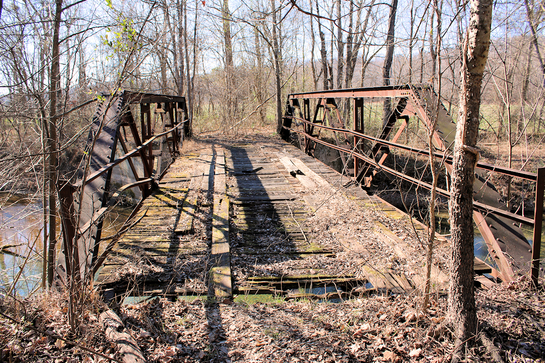
Bridge History
This bridge was originally built near the Tennessee River in the 1920s. When Kentucky Lake was created in the early 1940s, the bridge’s location was going to be inundated by the new reservoir, so workers moved the bridge to it’s present location on Pryor Creek.
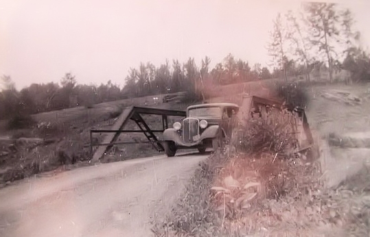
It isn’t known to me when it was closed, but it might be safe to assume the 1960s, considering the creation of Lake Barkley and Land Between The Lakes.
Pryor Creek Is Beautiful
This creek is spring fed in several locations. One spring is next to the Great Western Iron Furnace. Another spring in the Homeplace 1850s living history farm feeds it.
A gentleman emailed me in 2015 saying there was another spring on down from the bridge that fed the main creek. On the mouth of the spring is a rock formation. His grandfather grew up there and used the spring to keep food cool. A spring house was built on this site, but now is long gone. I didn’t have time to look for it and really didn’t want to get my feet cold and wet from crossing the frigid creek.
Don’t Cross The Bridge!
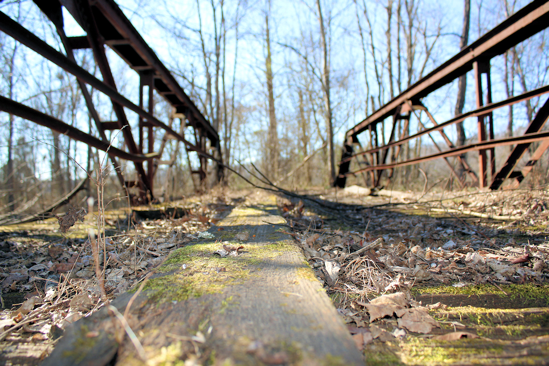
It’s impossible for a vehicle to cross the bridge with old barricades up and a lot of trees and overgrowth. But I wouldn’t cross it on foot, either. The wood deck is rotten. So if you decide to go visit the old bridge, remember safety first – don’t walk out on it.
Finding Pryor Creek Bridge
There are a couple ways to get there, but the best way is probably taking LBL Road #204 near the Great Western Iron Furnace from the Trace. Follow this gravel road until you reach LBL Road #174. Turn left on this road and go a bit until you reach LBL Road #364 (this road may be unmarked). If you cross Pryor Bay you’ve gone too far. At the time of this writing, any vehicle can access this area.
Travel to the very end of LBL Road #364 and park at the barricade. Walk along the old road a couple hundred yards and you’re there. The bridge is hard to see and get to in the summer, so if you don’t find it, continue walking down the lane to the ford. Get into the creek and you’ll see it crossing the stream about 100 feet down. In the summer, watch for snakes and other critters!
GPS: 36.6677134,-87.9574137


Pingback: Blue Spring, Tennessee - Four Rivers Explorer