Kentucky Lake has plenty of unusual sights in the waters, such as the abandoned Danville Grain Elevator and Cemetery Island. Another historical relic can be found at Paris Landing, sticking up out of the waters of Kentucky Lake’s Eagle creeks.
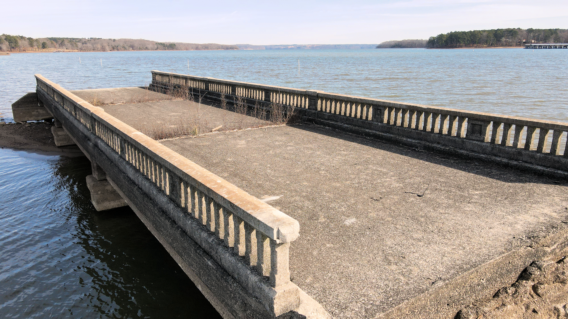
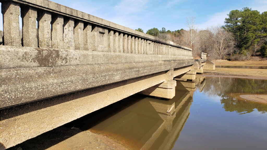
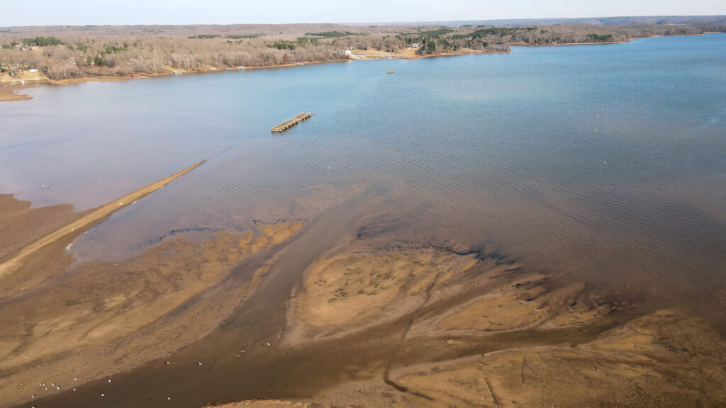
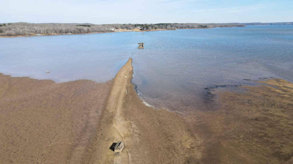
Tennessee State Route 76 once crossed through the bays of Eagle Creek and Little Eagle Creek before Kentucky Lake was a thing. The old roadbed, devoid of pavement, is still visible, especially on Little Eagle Creek.
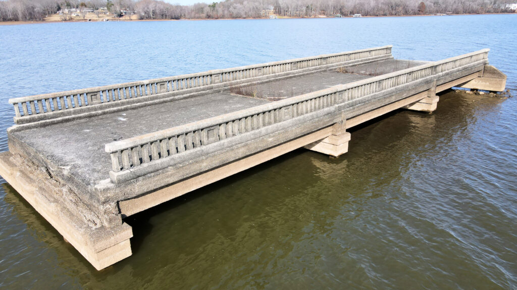
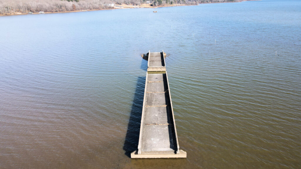
Most notably are the remains of the bridges that once crossed these two creeks. The most prominent are sections of two bridges in the middle of the bay of Eagle Creek. At summer pool, these bridges are quite the site because they just appear out in the middle of the lake. When the lake is high, these abandoned bridges are completely submerged, posing a hazard to boats who aren’t aware of their existence.
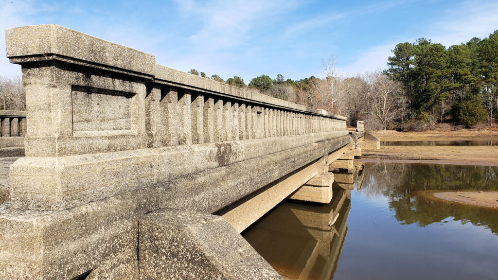
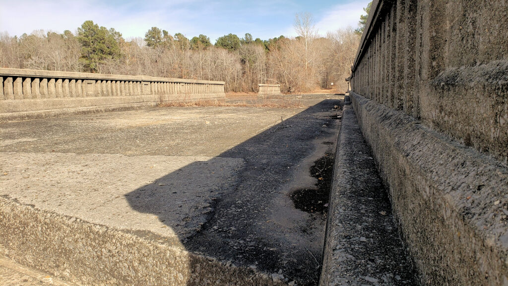
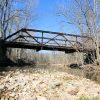
The two bridges at Eagle Creek are inaccessible by foot, even at winter pool. However, the smaller Little Eagle Creek bridge can be explored easily, especially during winter pool.
These bridges were likely built in 1929 or 1930. A newspaper clipping from October 4, 1928, asks for proposals for “State Highway No. 76” for grading and drainage along with bids for “eight concrete deck girder bridges over twenty-foot span”. These were to be built between Paris and the Tennessee River, which points to these now-abandoned bridges. In addition to being designated No. 76, about that same time the road was also known as Austin Peay Memorial Highway.
Tennessee 76 was identified as one of four key east-west roadways for the state of Tennessee with four massive bridges crossing the Tennessee River. In 1944, as World War II raged and Kentucky Lake was being formed from the river, the United States designated Tennessee 76 as a new US defense highway to Fort Campbell in Clarksville. The route became US Highway 79.
About the same time, the highway was rerouted north to avoid the soon-to-be-flooded parts of the two Eagle creeks. TVA (The Tennessee Valley Authority) oversaw clearing out all the areas to be flooded by the new Kentucky Lake.
Sometimes, the agency would leave concrete structures in place as navigation markers. TVA left most of the old bridges in the two Eagle creeks. One span from each bridge was removed, presumably for a boat to pass through, but the others remained. They are serious hazards when completely submerged by the lake when it’s high, so we’re not sure why they left them. They really don’t mark any navigation points for boaters.
If you would like to see these bridges for yourself, head over to Little Eagle Creek. Of the two, it’s the only one accessible by foot. At the end of Eagle Nest Road, there is a small makeshift parking area where the road ends. You can park there and walk out across the old roadbed to the bridge.
As with all abandoned historical places featured on Four Rivers Explorer, please respect the site, and leave no trace.
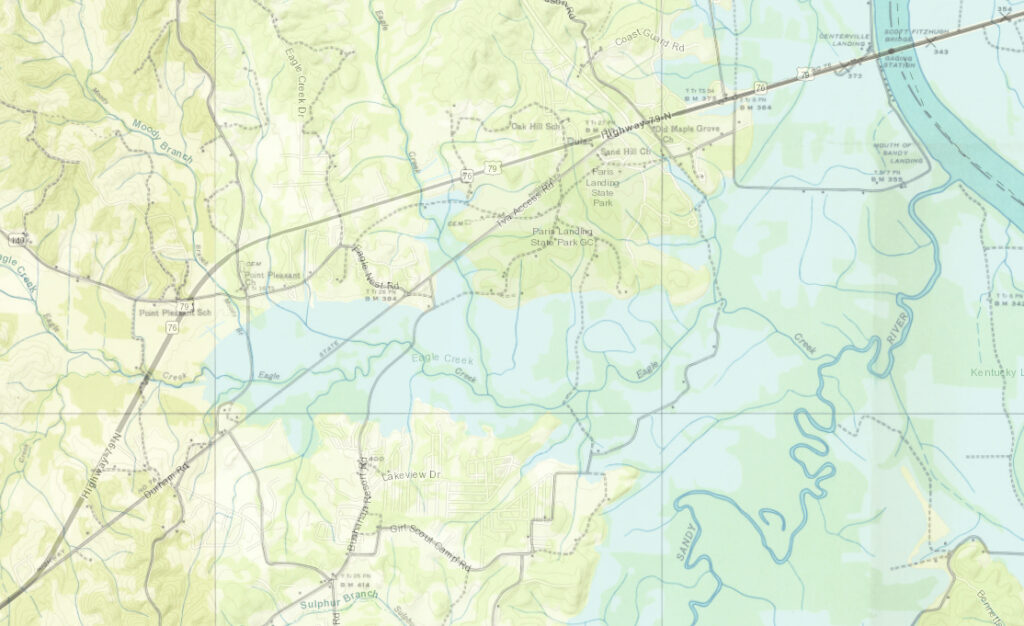
Location of the Abandoned Bridges
While there are a total of three abandoned bridges with the middle spans of each removed, we will pinpoint the location of the bridge that is accessible by foot during winter pool.
Kentucky Lake Drone Video of Abandoned Bridges
Resources
- The Clarksville Leaf-Chronicle – October 4, 1928
- The Erwin Record – October 26, 1928
- USGS Topographical Maps – 1936


